 The Pacific War Online Encyclopedia
|
| Previous: Samnangjin | Table of Contents | Next: Sample, William D. |
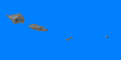
Samoa is a group of 15 islands with a total land area of about 1150 square miles (2980 km2). Located in central Polynesia, rougly 2300 miles (3700 km) southwest of Pearl Harbor and 2400 miles (3850 km) northeast of Sydney, it was divided between New Zealand and the United States in 1941. The islands east of 171W were controlled by the U.S. and included Tutuila with its excellent anchorage at Pago Pago. The large western islands were controlled by New Zealand under a Class C mandate from the League of Nations, and included Upolu with its much poorer anchorage at Apia.
Control of the islands had been disputed by Germany, Britain, and the United States in the 1800s, but in 1877 the U.S. accepted a treaty putting East Samoa under its protection. The three powers agreed to support a single Samoan king in 1889, but this arrangement broke down in 1894, allegedly due to German intriguing. The islands were divided up on 14 November 1899, the United States taking east Samoa, Germany taking west Samoa, and Britain dropping its claims in return for exclusive control of Tonga and the Solomon Islands. However, New Zealand forces seized control of West Samoa during the First World War, and this was formalized by the League of Nations mandate.
The U.S. had begun development of
military facilities here in 1940 as part of a chain of bases from the
West
Coast to the Philippines
via Australia.
References
The Pacific War Online Encyclopedia © 2007, 2010-2011 by Kent G. Budge. Index